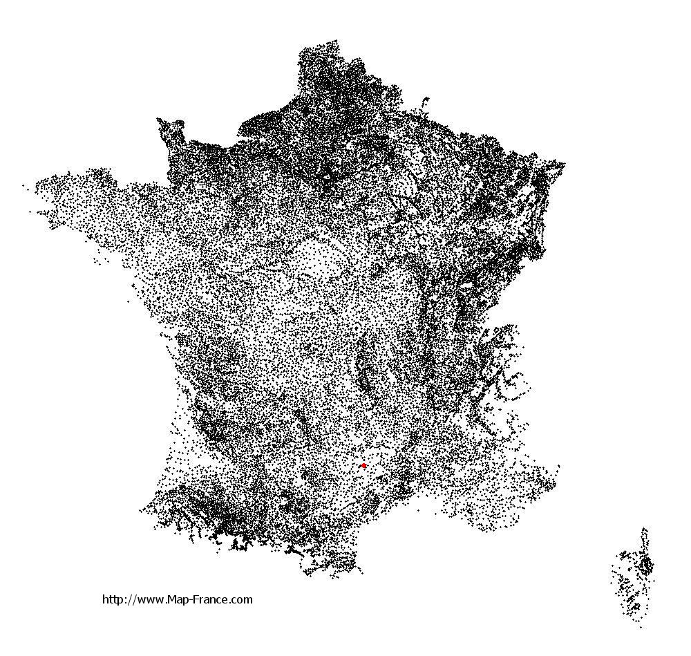
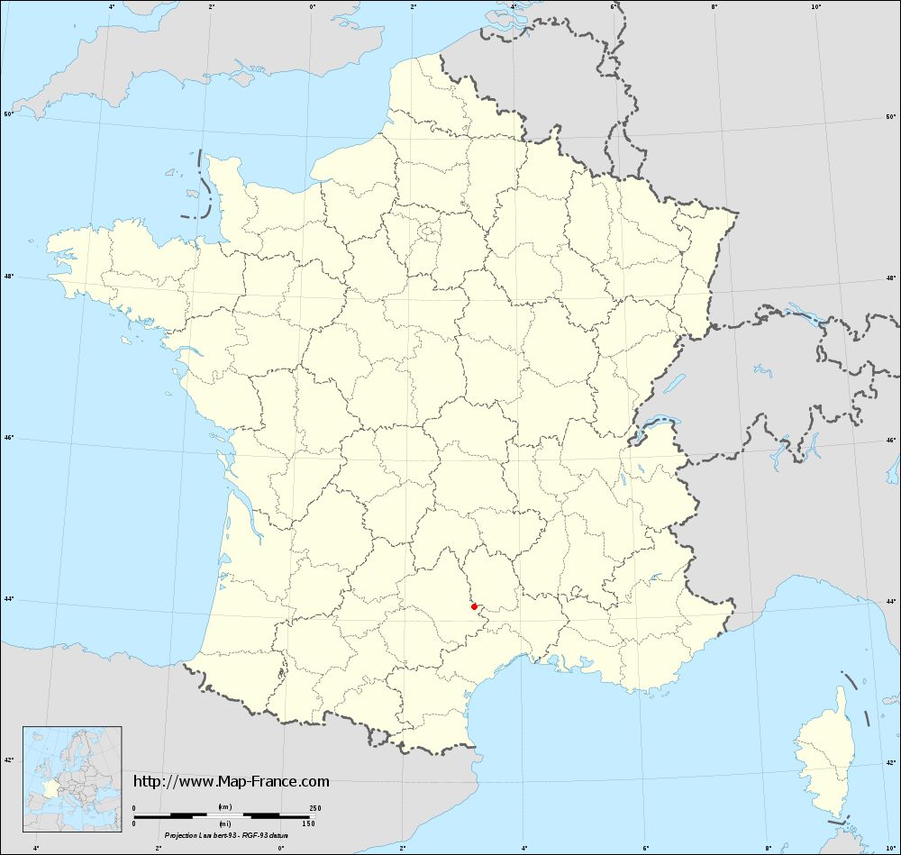
Le Rozier on the relief France map in Lambert 93 coordinates
|
See the map of Le Rozier in full screen (1000 x 949)
|
At left, here is the location of Le Rozier on the relief France map in Lambert 93 coordinates.
Here are the altitudes of Le Rozier :
- Town hall altitude of Le Rozier is 420 meters
- Minimum altitude of Le Rozier is 387 meters
- Maximum altitude of Le Rozier is 849 meters
- Medium altitude of Le Rozier is 618 meters
Here are the altitudes of Mende, prefecture of Lozère department:
- Town hall altitude of Mende is 740 meters
- Minimum altitude of Mende is 691 meters
- Maximum altitude of Mende is 1 236 meters
- Medium altitude of Mende is 964 meters
Here are the altitudes of the french biggest cities:
Paris : 33 meters
Marseille : 20 meters
Lyon : 237 meters
Toulouse : 146 meters
Nice : 10 meters
Nantes : 20 meters
Strasbourg : 144 meters
Montpellier : 35 meters
Bordeaux : 16 meters
Lille : 20 meters
Rennes : 35 meters
Reims : 83 meters
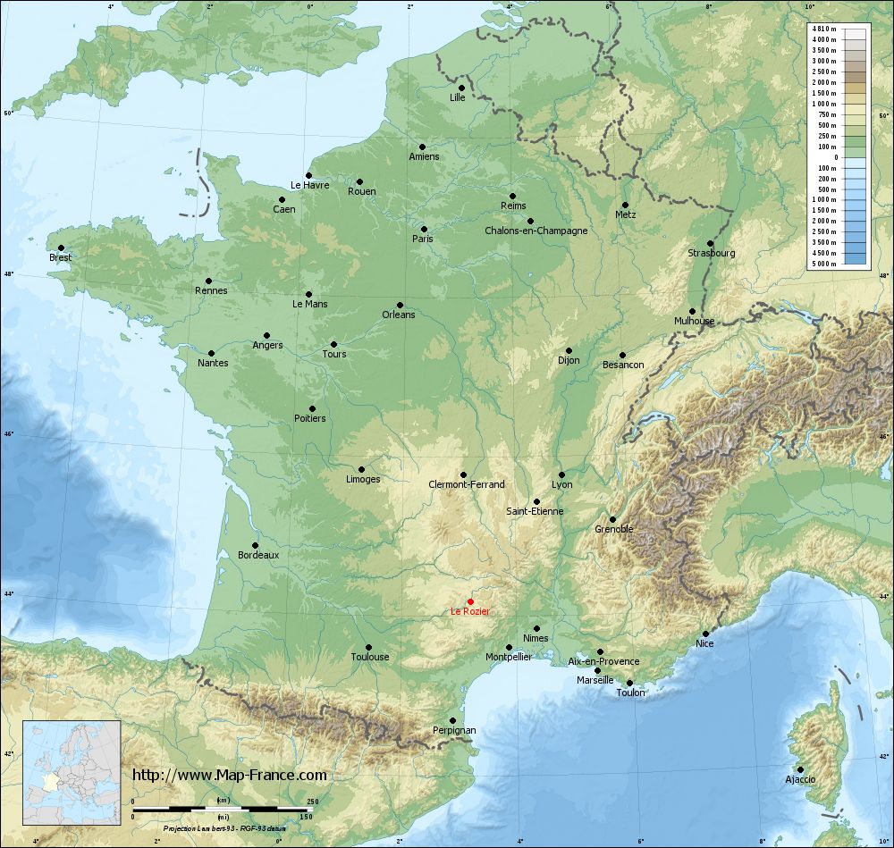
Click here for the terrain map of Le Rozier in full screen:
Relief map of Le Rozier
|
This relief map of Le Rozier is reusable and modifiable by making a link to this page of the Map-France.com website or by using the given code :
|
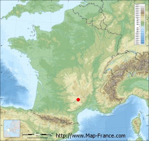
Terrain base map of Le Rozier
|

See the terrain base map of Le Rozier in full screen (1000 x 949)
|
Small relief base map of Le Rozier
|
This base map of Le Rozier is reusable and modifiable by making a link to this page of the Map-France.com website or by using the given code :
|
Map of Le Rozier with regions and prefectures
|
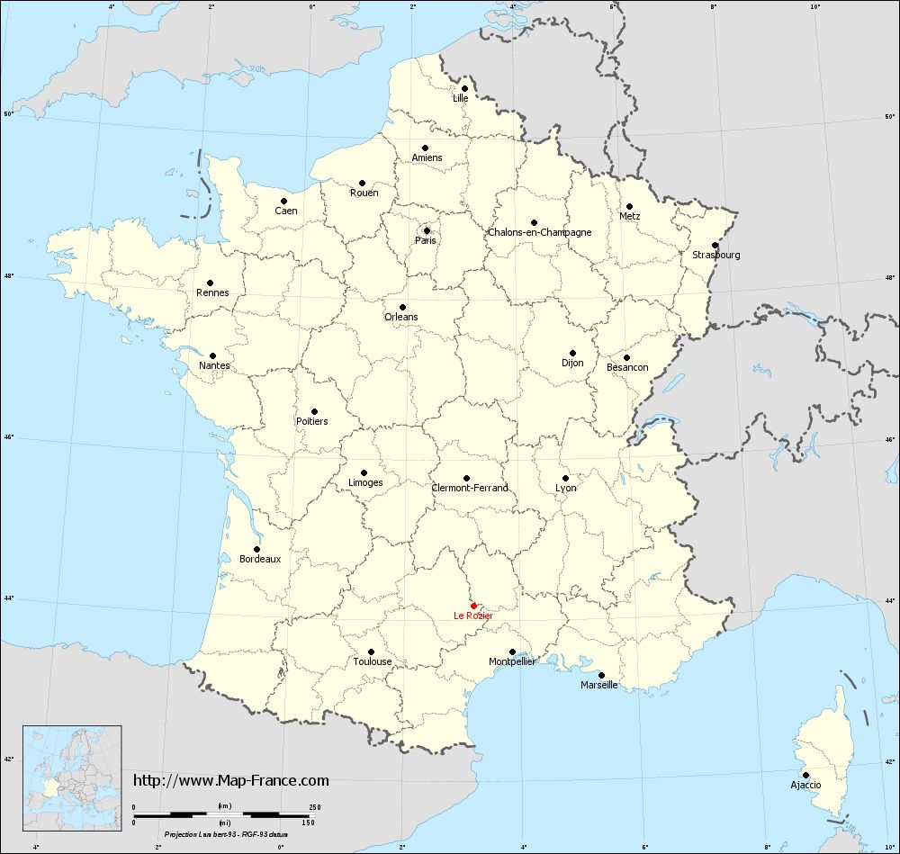
View the map of Le Rozier in full screen (1000 x 949)
|
You will find the location of Le Rozier on the map of France of regions in Lambert 93 coordinates. The town of Le Rozier is located in the department of Lozère of the french region Languedoc-Roussillon.
Geographical sexagesimal coordinates / GPS (WGS84):
Latitude: 44° 11' 26'' North
Longitude: 03° 12' 36'' East
Geographical decimal coordinates :
Latitude: 44.191 degrees (44.191° North)
Longitude: 3.207 degrees (3.207° East)
Lambert 93 coordinates :
X: 7 168 hectometers
Y: 63 435 hectometers
Lambert 2 coordinates :
X: 6 699 hectometers
Y: 19 103 hectometers
Below, the geographical coordinates of Mende, prefecture of the Lozère department:
Geographical sexagesimal coordinates / GPS (WGS84):
Latitude: 44° 31' 06'' North
Longitude: 03° 30' 02'' East
Geographical decimal coordinates :
Latitude: 44.519 degrees (44.519° North)
Longitude: 3.498 degrees (3.498° East)
Lambert 93 coordinates :
X: 7 398 hectometers
Y: 63 801 hectometers
Lambert 2 coordinates :
X: 6 926 hectometers
Y: 19 471 hectometers
|
This map of Le Rozier is reusable and modifiable by making a link to this page of the Map-France.com website or by using the given code :
|
Map of Le Rozier with departments and prefectures
|
Voir la carte of Le Rozier en grand format (1000 x 949)
|
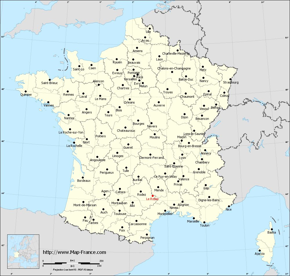
Here is the localization of Le Rozier on the France map of departments in Lambert 93 coordinates. The city of Le Rozier is shown on the map by a red point.
The town of Le Rozier is located in the department of Lozère of the french region Languedoc-Roussillon.
The latitude of Le Rozier is 44.191 degrees North.
The longitude of Le Rozier is 3.207 degrees East.
Here the distance between Le Rozier and the biggest cities of France:
Distances are calculated as the crow flies (orthodromic distance)
Distance between Le Rozier and Paris : 522.98 kilometers
Distance between Le Rozier and Marseille : 202.07 kilometers
Distance between Le Rozier and Lyon : 216.21 kilometers
Distance between Le Rozier and Toulouse : 155.2 kilometers
Distance between Le Rozier and Nice : 328.82 kilometers
Distance between Le Rozier and Nantes : 499.46 kilometers
Distance between Le Rozier and Strasbourg : 599.61 kilometers
Distance between Le Rozier and Montpellier : 83.9 kilometers
Distance between Le Rozier and Bordeaux : 308.2 kilometers
Distance between Le Rozier and Lille : 715.29 kilometers
Distance between Le Rozier and Rennes : 574.97 kilometers
Distance between Le Rozier and Reims : 566.45 kilometers
Clic here to see the map of Le Rozier in full screen:
Le Rozier on the map of french departments
|
This administrative map of Le Rozier is reusable and modifiable by making a link to this page of the Map-France.com website or by using the given code :
|
Administrative base maps of Le Rozier
|
See the administrative base map of Le Rozier in full screen (1000 x 949)
|
Small administrative base map of Le Rozier
|
This base map administrative of Le Rozier is reusable and modifiable by making a link to this page of the Map-France.com website or by using the given code :
|
 French Version : http://www.cartesfrance.fr